
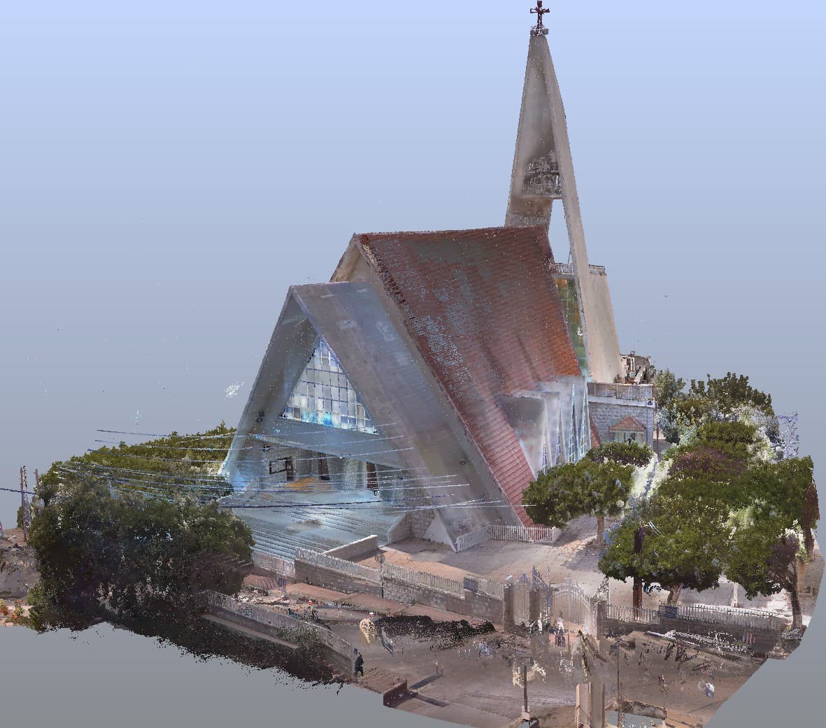
The instruments behind the accuracy.
Survey-grade equipment paired with industry-leading software — engineered for precise, reliable, and repeatable results.
Advanced surveying and geospatial technologies.
GeoBIM operates advanced surveying and geospatial technologies to ensure high accuracy, efficiency, and reliability across all projects. Our workflow integrates modern equipment and digital processing methods to deliver precise spatial data and high-quality outputs.
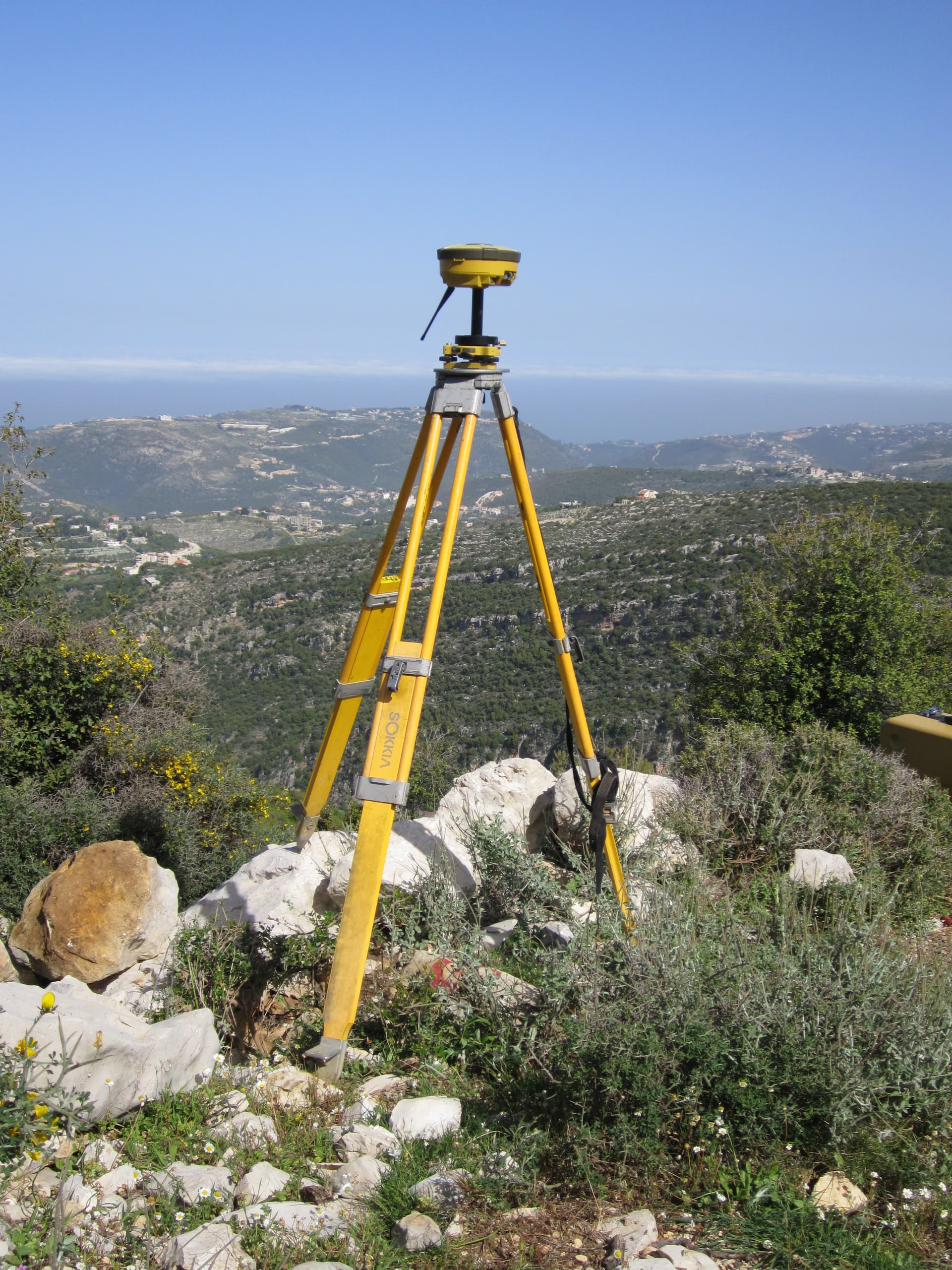
GNSS RTK Surveying Systems
Satellite positioning for georeferenced control networks and real-time measurement at centimeter-level accuracy.
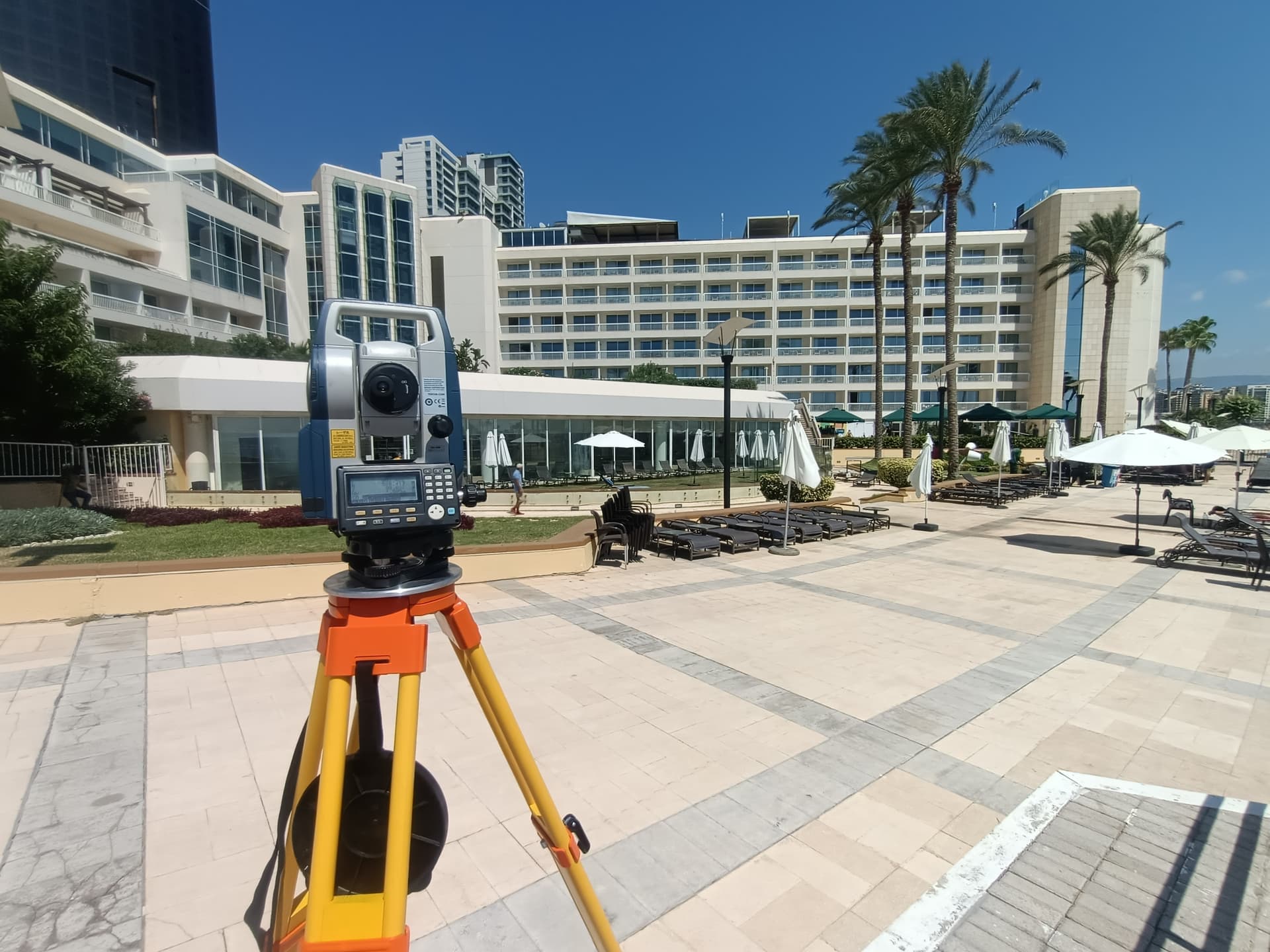
1″ Accuracy Robotic Total Stations
1 arc-second angular accuracy for topographic survey, construction layout, and structural monitoring.

UAV Photogrammetry with RTK Positioning
Survey-grade aerial mapping for orthomosaics, digital surface models, and volumetric calculations.
Terrestrial Laser Scanning for Reality Capture
High-speed reality capture producing dense point clouds of buildings and infrastructure for BIM and CAD.
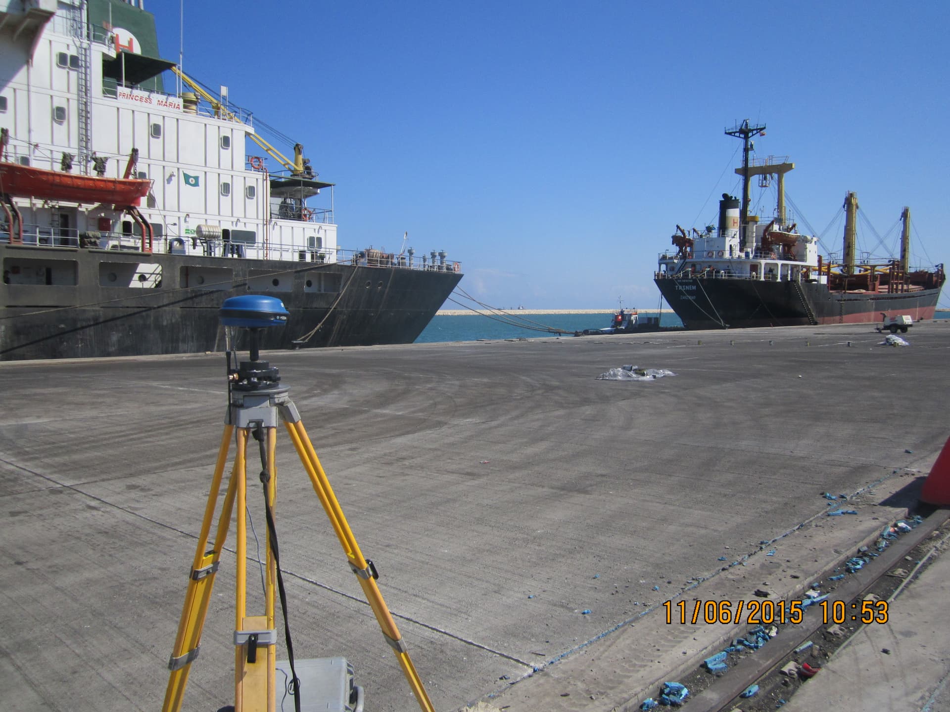
Hydrographic & Bathymetric Survey Equipment
Multibeam and single-beam echo sounders with integrated GNSS for seabed mapping and underwater inspection.
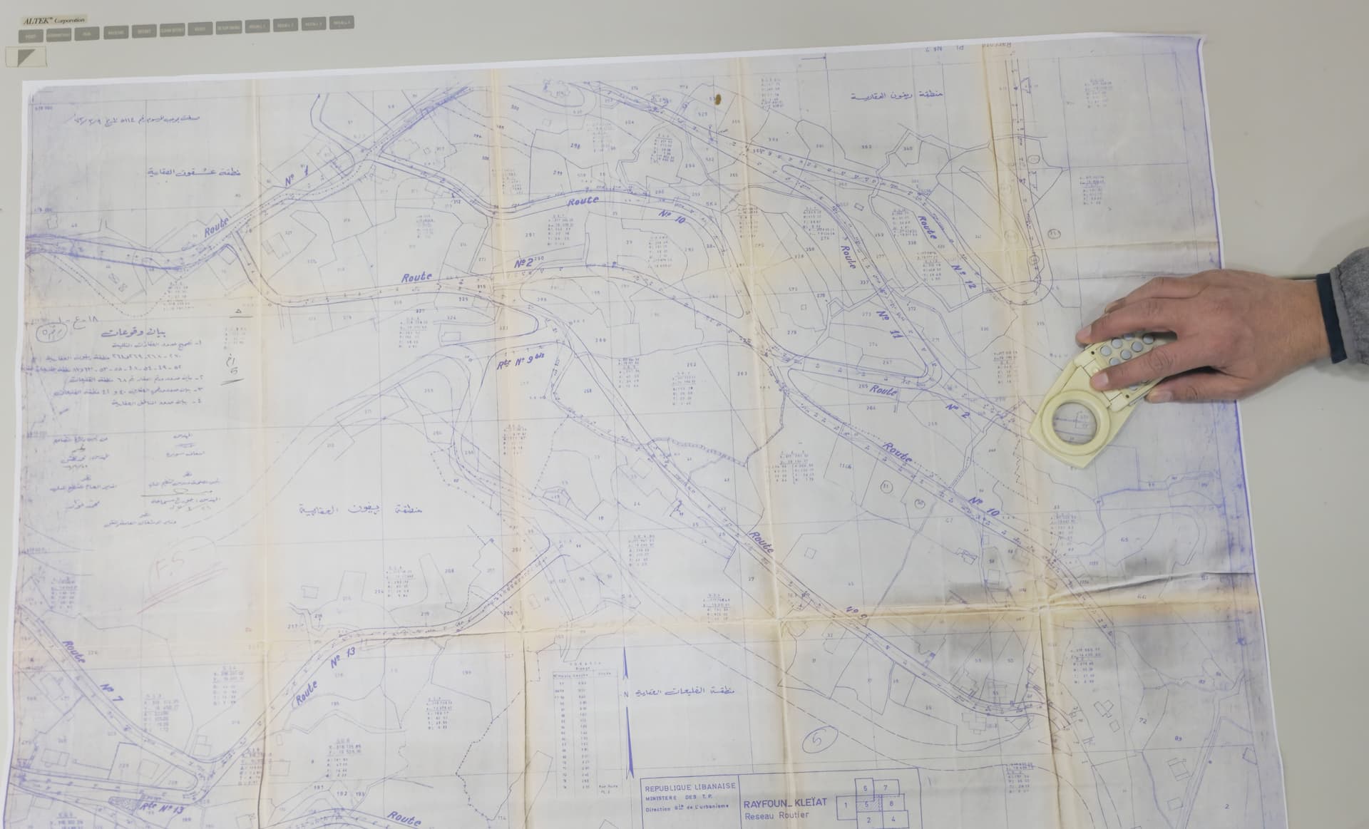
Large-Format A0 Map Digitization
Conversion of historical and regulatory maps into georeferenced digital formats compatible with GIS and CAD.
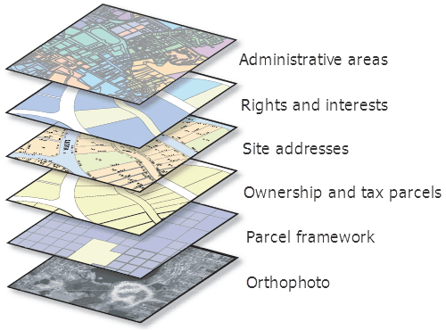
GIS and Spatial Data Processing Tools
Industry-standard GIS for spatial databases, multilayer analysis, thematic mapping, and asset management.