
All Services
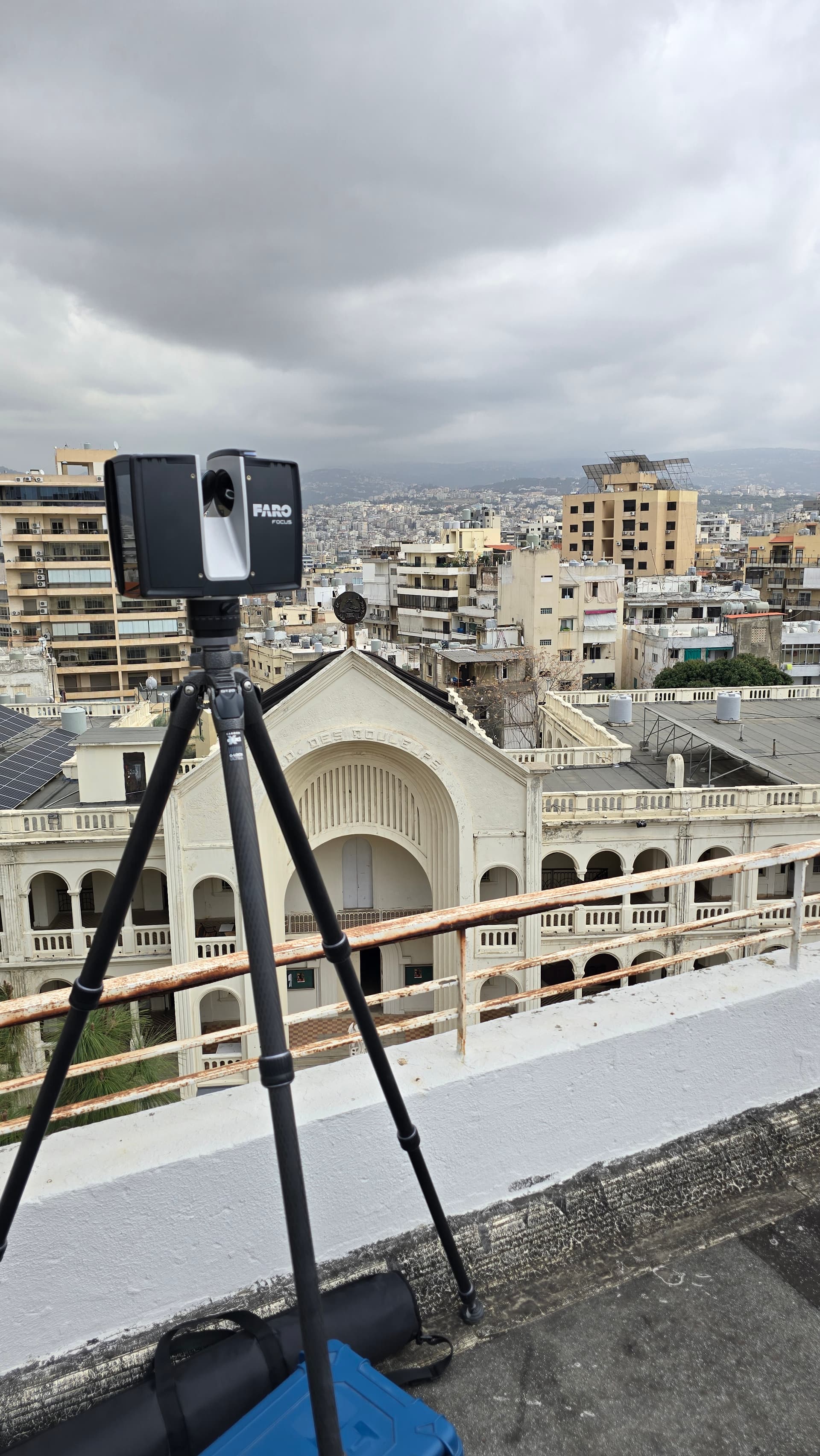
Terrestrial 3D Scanning
Using advanced terrestrial laser scanning technology, we capture accurate 3D data of buildings, infrastructure, and complex environments.
- Point cloud acquisition & registration
- Scan-to-CAD documentation
- 3D modeling (CAD / BIM)
- Architectural & industrial documentation
Deliverables
- Registered point clouds
- 3D models (LOD as required)
- Orthographic elevations & sections
Technology & Equipment
Terrestrial Laser Scanning
High-speed 3D laser scanners for reality capture, producing dense point clouds of buildings, infrastructure, and complex environments for BIM and CAD documentation.