
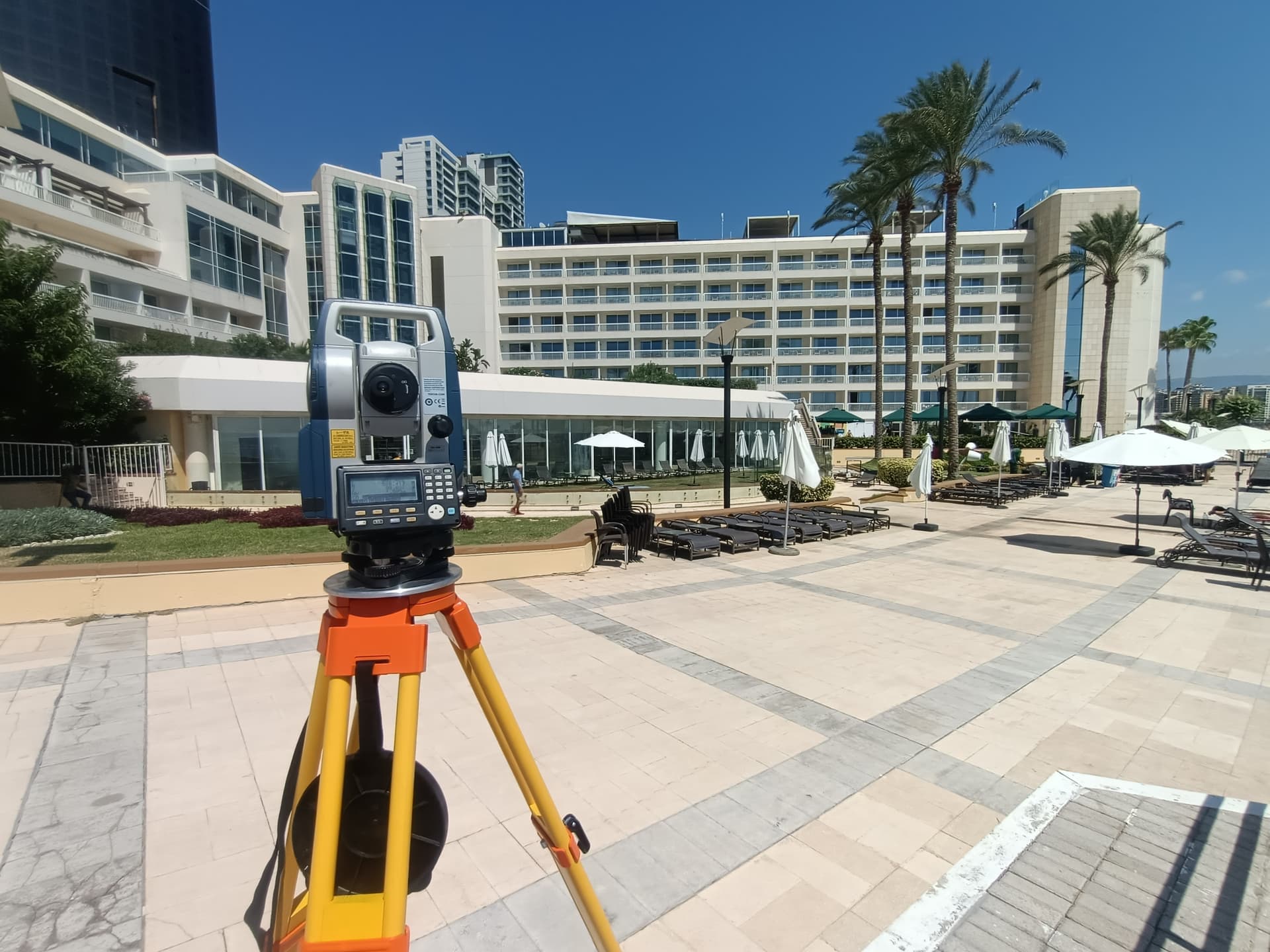
Eight specialized service lines. One precision standard.
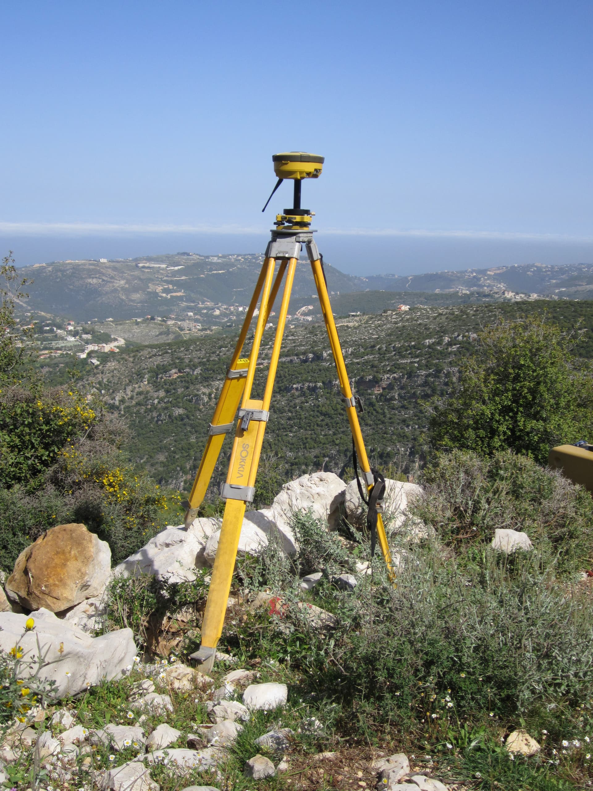
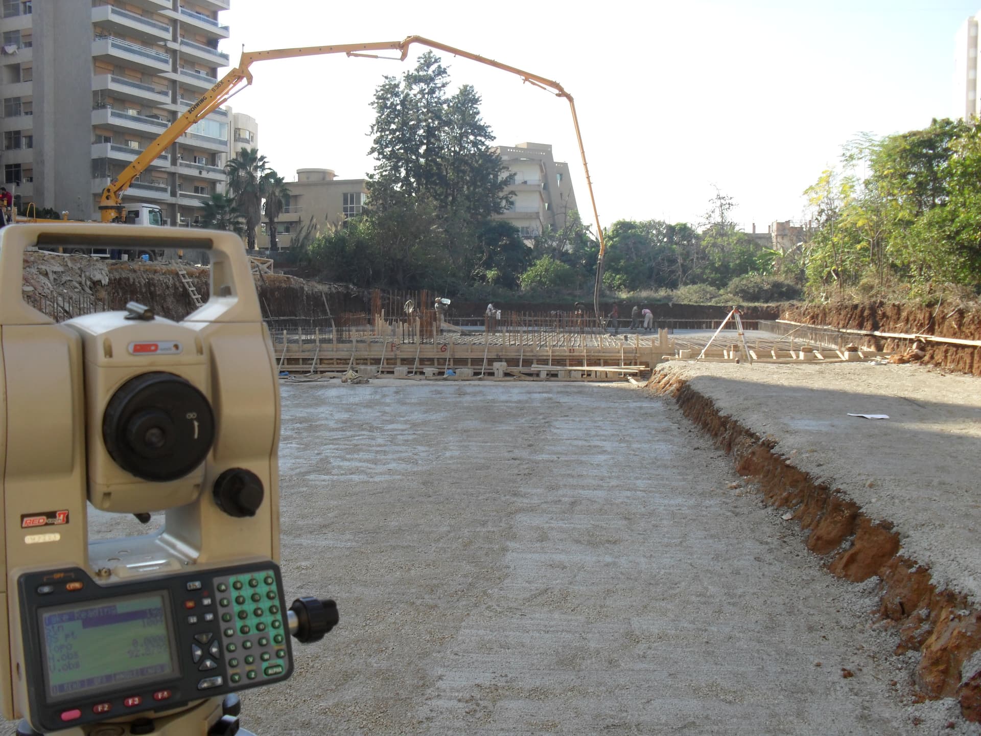
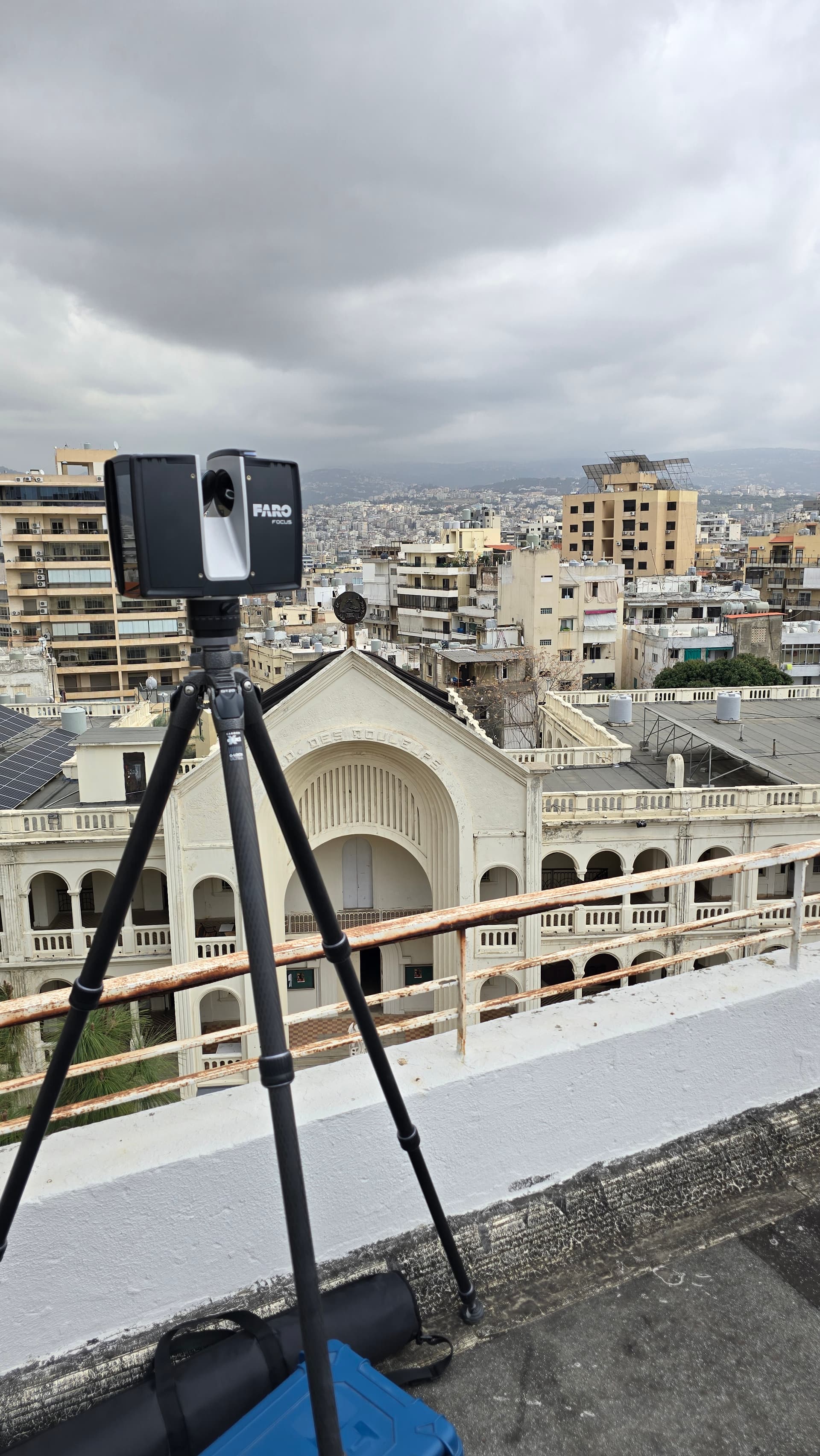
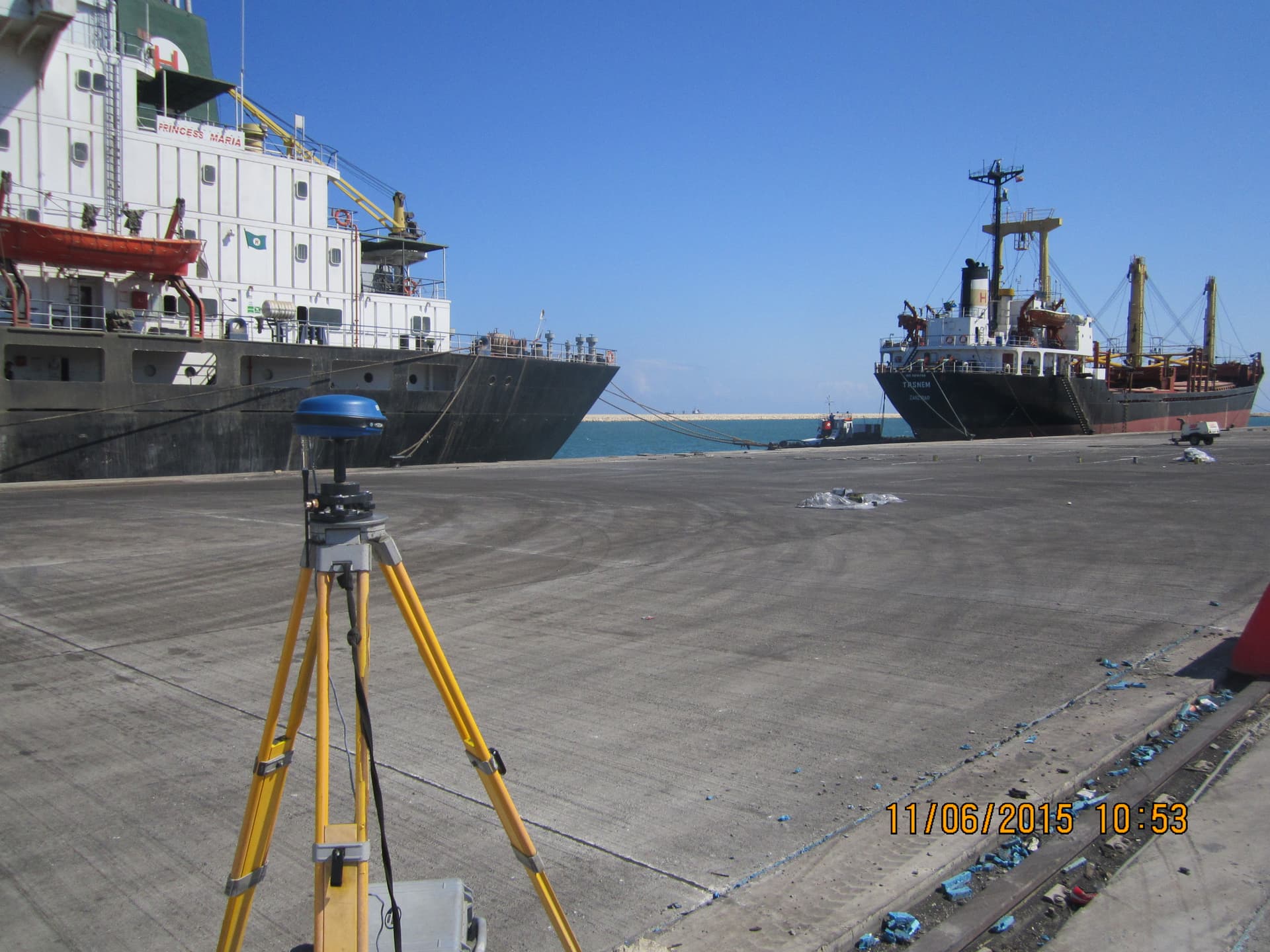
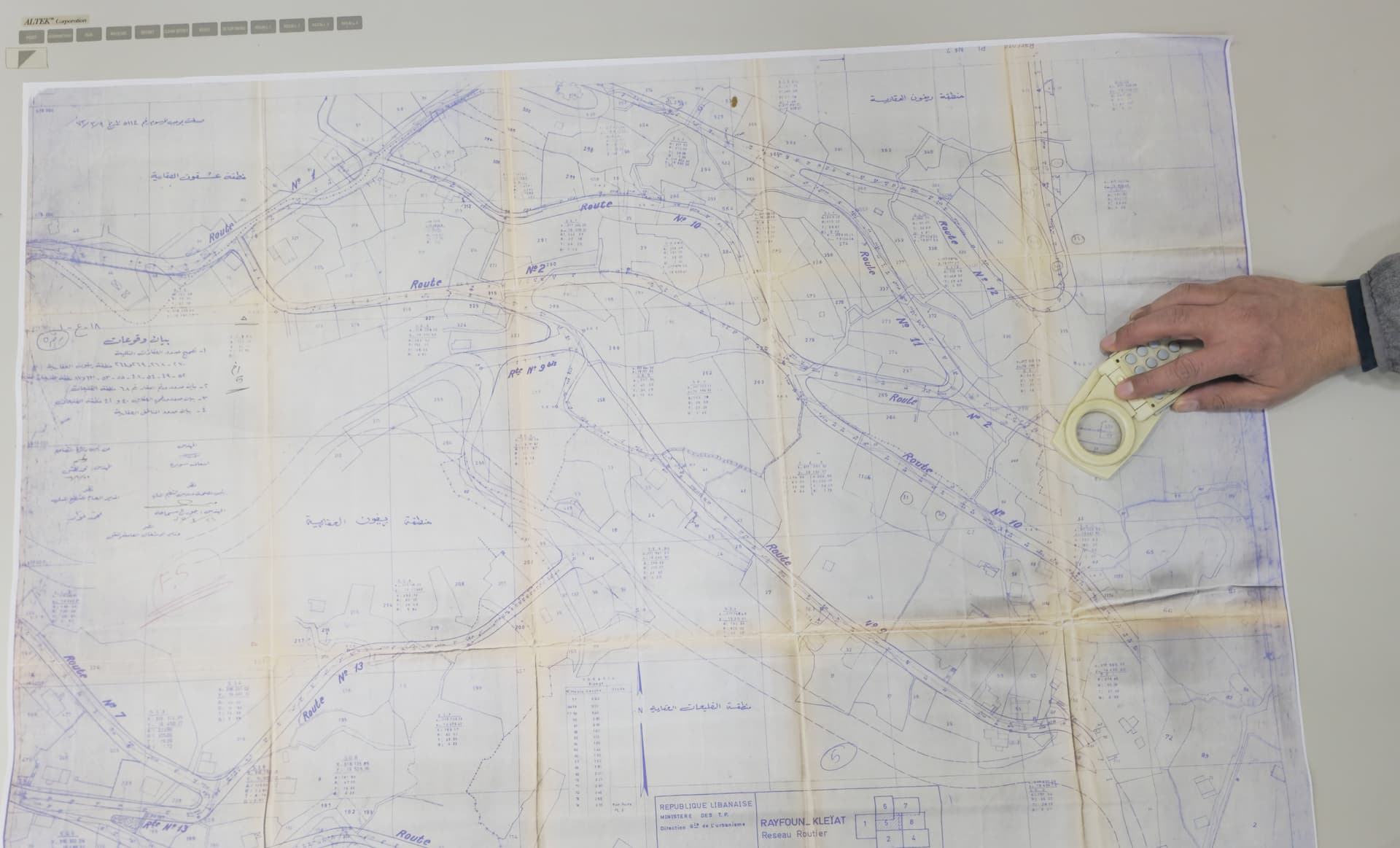
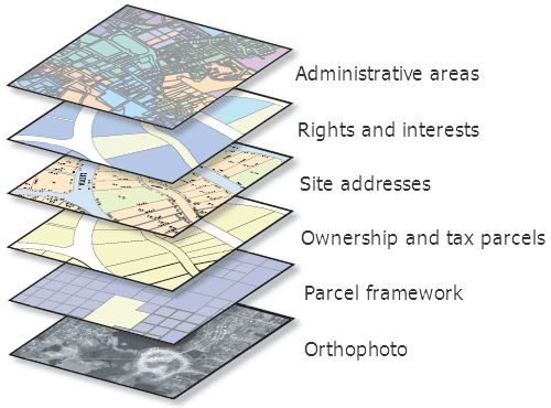
From land surveying and 3D scanning to drone mapping and GIS analysis — every discipline is backed by advanced equipment and three decades of field experience.
Our Services
Every discipline. In one view.
Select any service to open its page — including deliverables and the equipment we use to produce them.

Custom Solutions
Need a custom solution? Let's talk.
Every project is unique. Contact us to discuss your specific surveying and geospatial requirements.