
Land Surveying & Topography
Precision ground measurement. Mapped to the millimeter.
Eight specialized service lines. One precise standard.

Advanced technology. Trusted results.
GEOBIM is a specialized geospatial engineering firm combining surveying expertise with advanced technologies including RTK drone mapping, terrestrial laser scanning, GIS systems, hydrographic surveying, and digital documentation.
With over 30 years of experience, we support municipalities, developers, contractors, and engineering firms with precise, data-driven solutions designed to meet both field requirements and regulatory standards.
Advanced surveying and geospatial technologies.
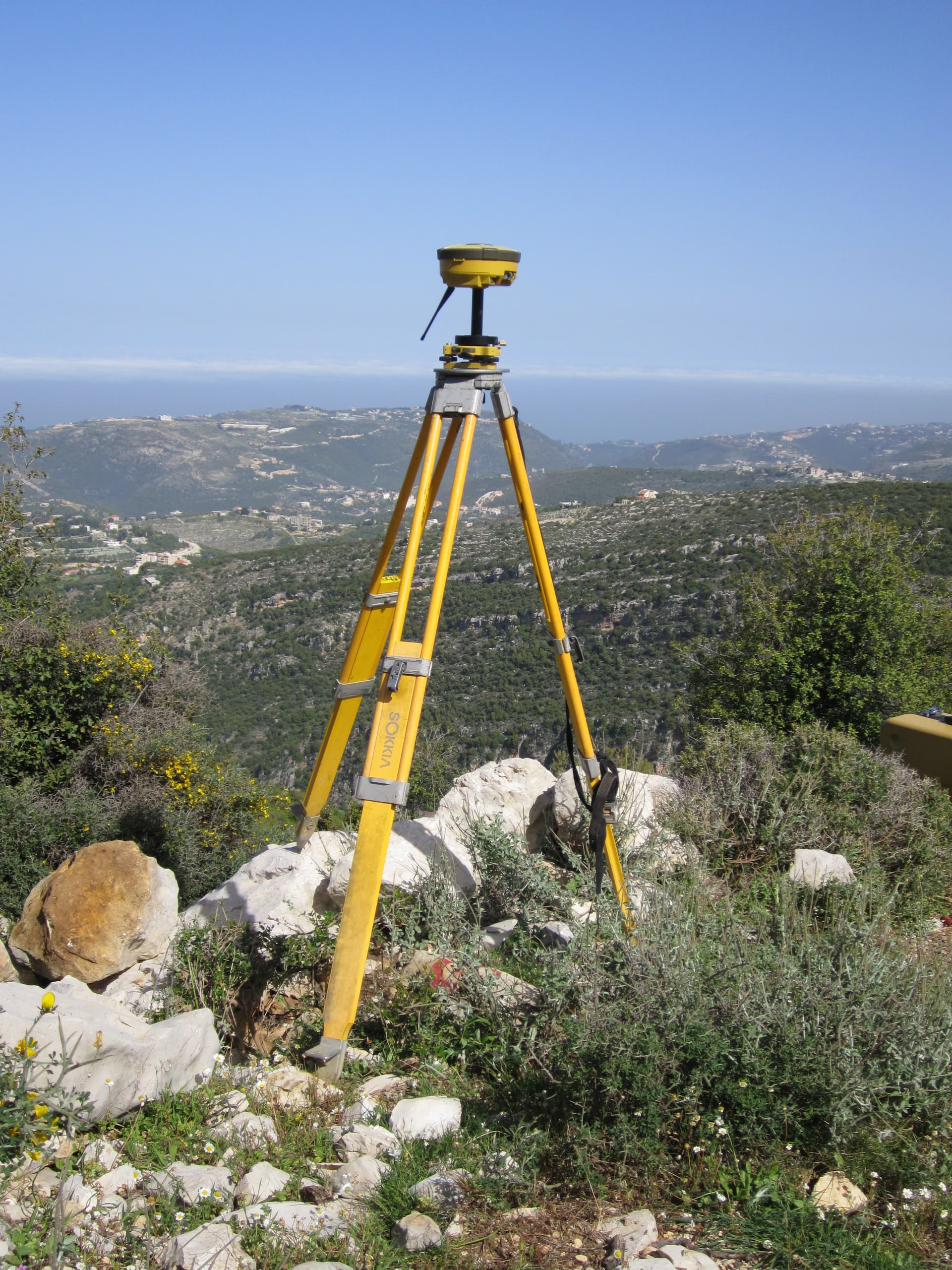
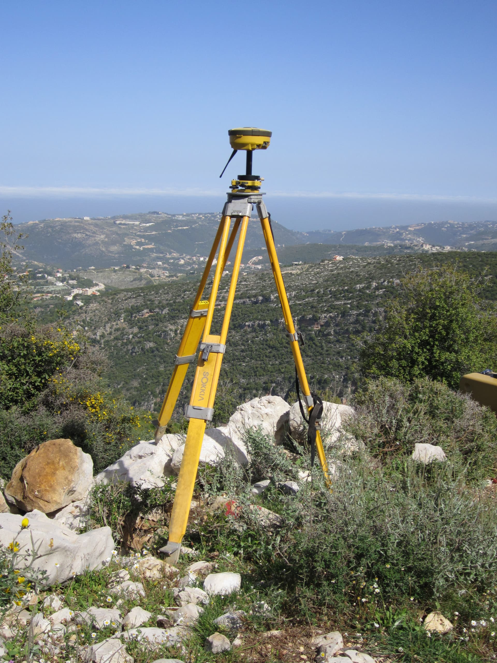
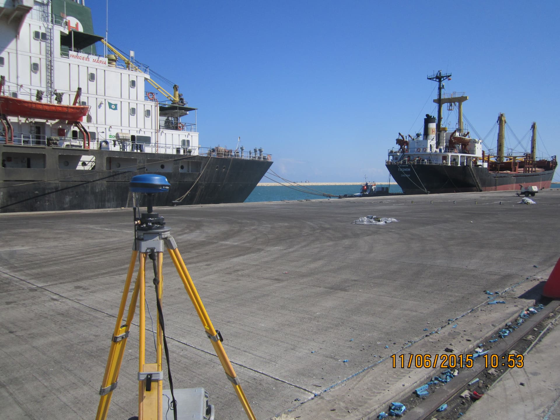
GNSS RTK Surveying Systems
Satellite positioning for georeferenced control networks and real-time measurement at centimeter-level accuracy.
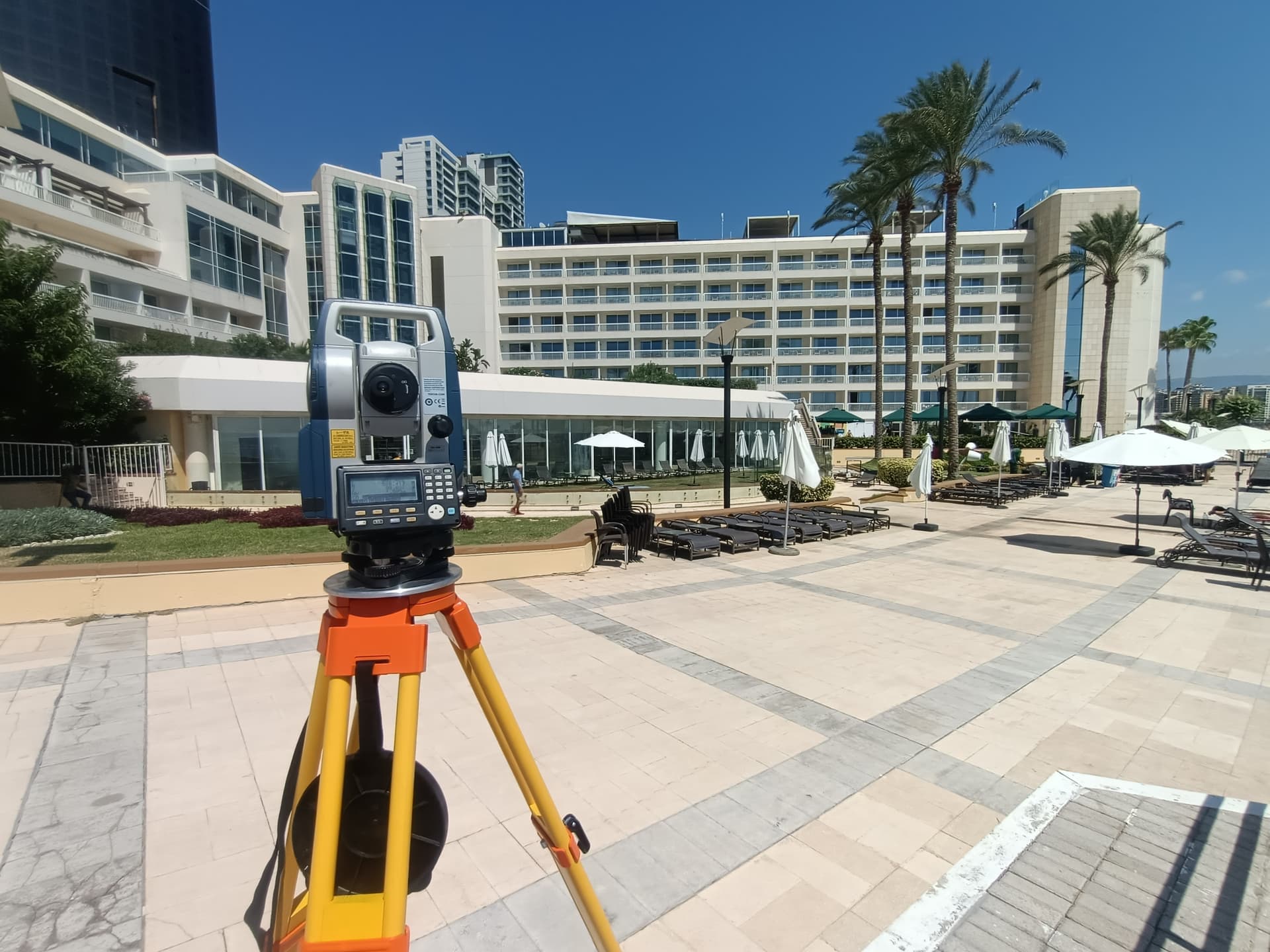
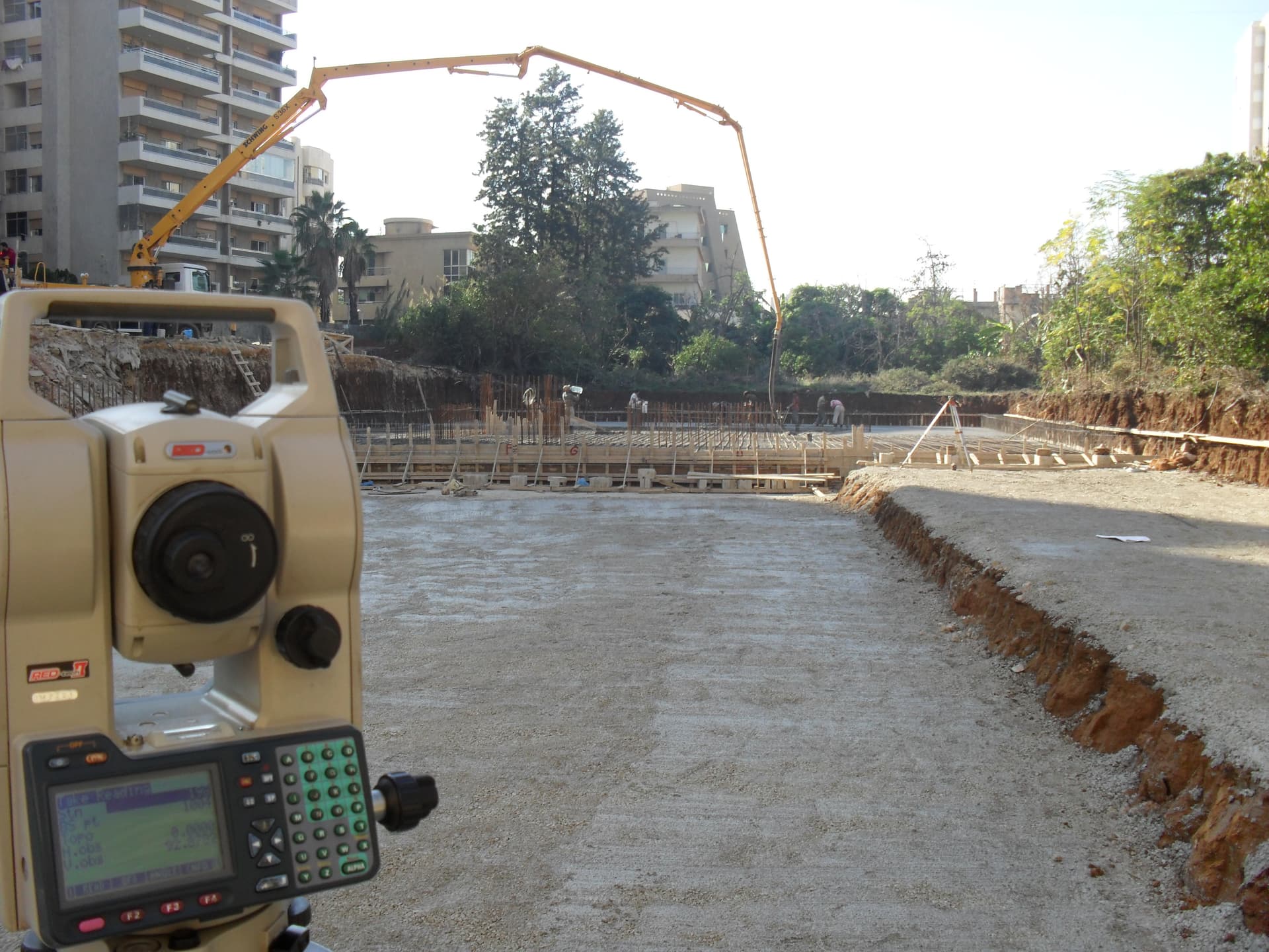
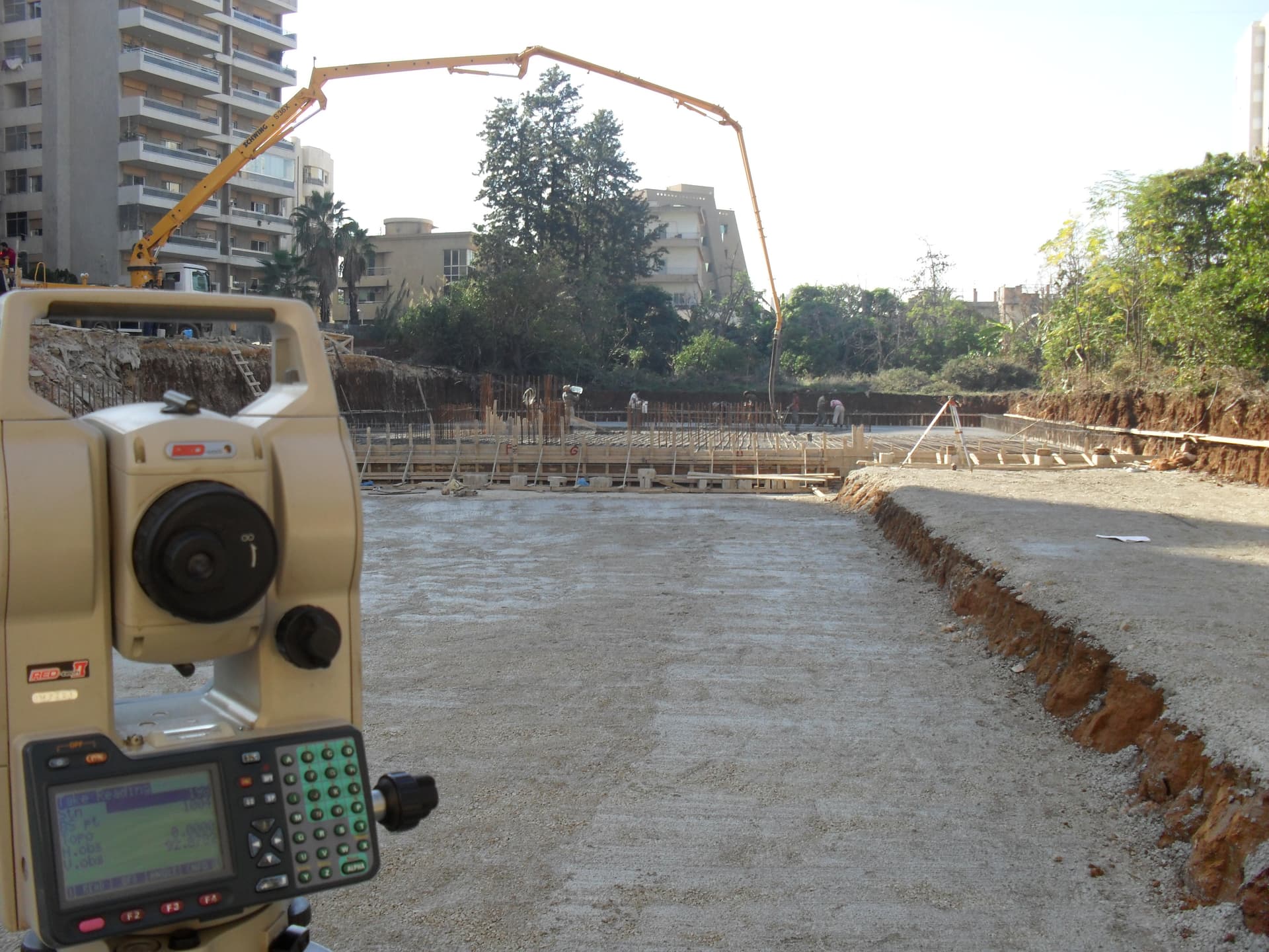
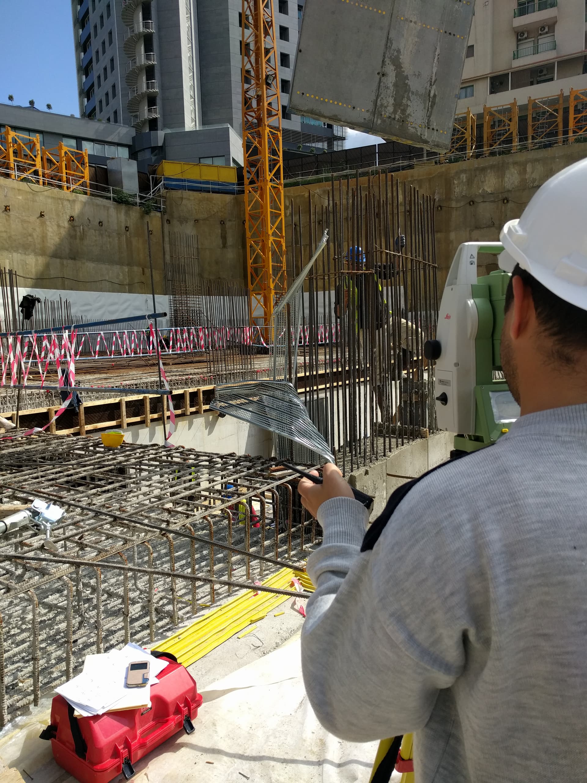
1″ Accuracy Robotic Total Stations
1 arc-second angular accuracy for topographic survey, construction layout, and structural monitoring.

UAV Photogrammetry with RTK Positioning
Survey-grade aerial mapping for orthomosaics, digital surface models, and volumetric calculations.
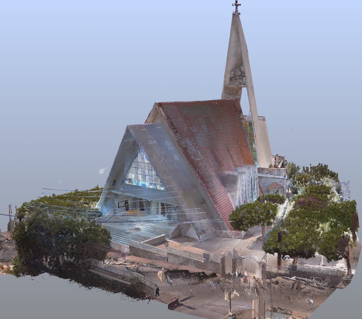
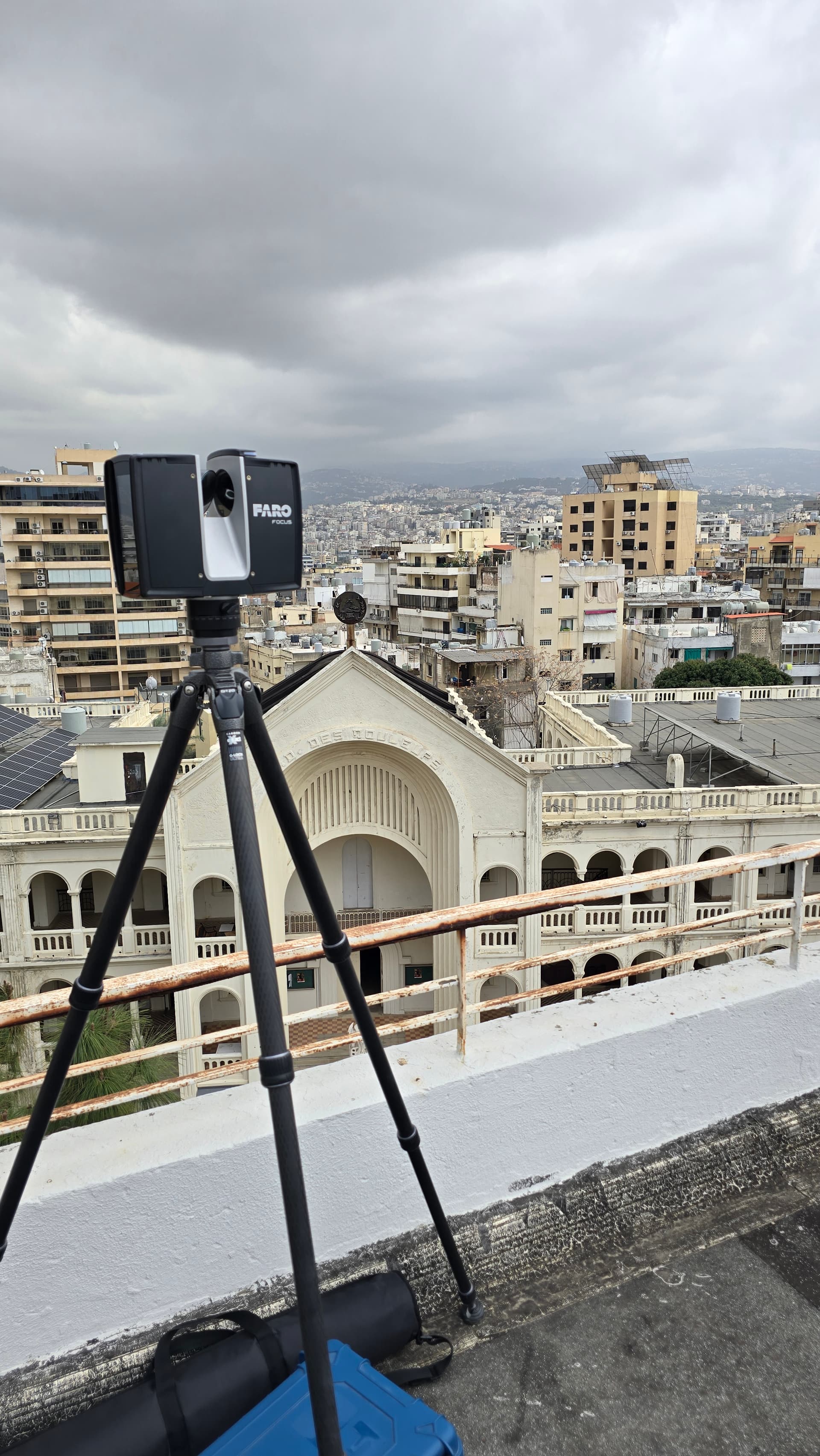
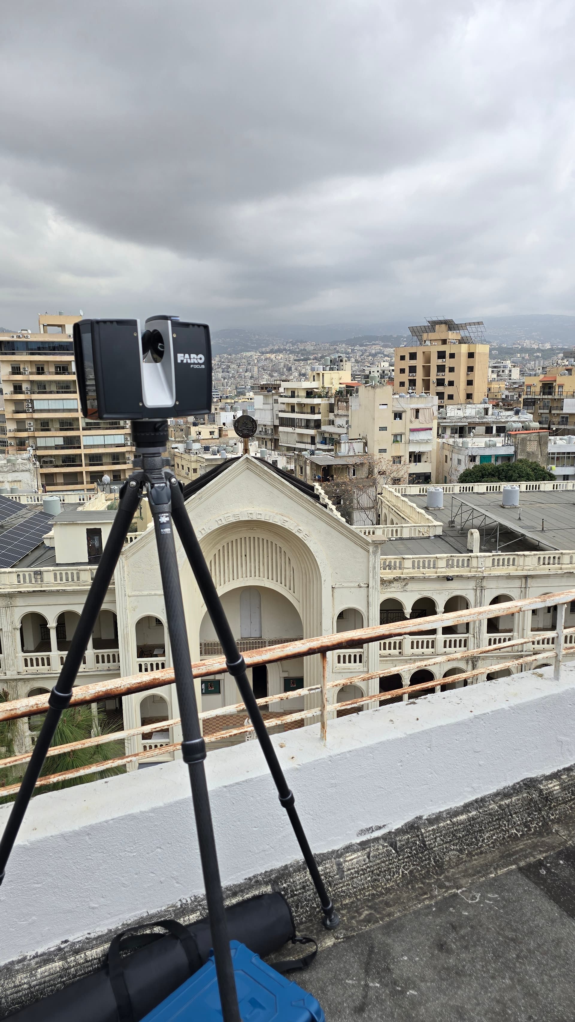
Terrestrial Laser Scanning for Reality Capture
High-speed reality capture producing dense point clouds of buildings and infrastructure for BIM and CAD.
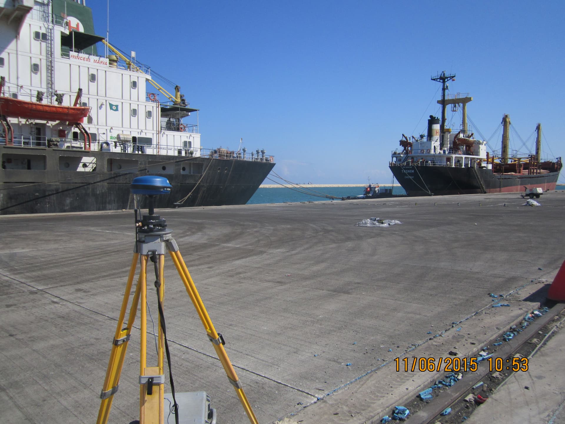
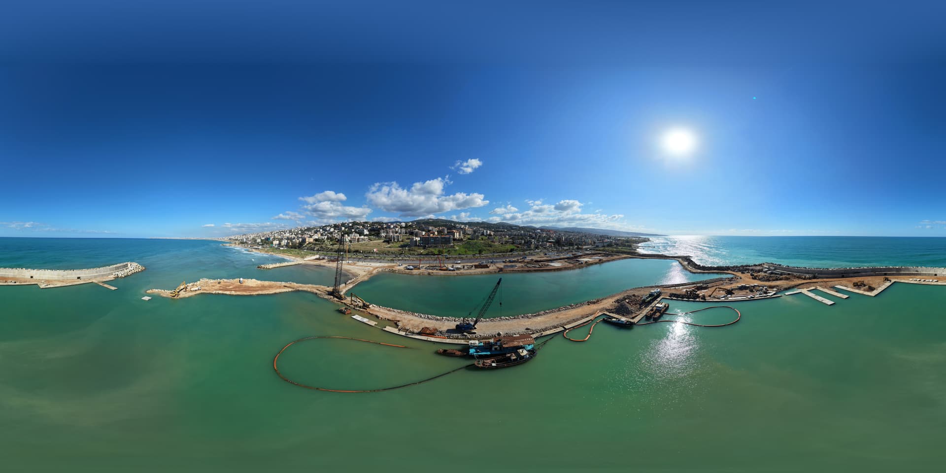
Hydrographic & Bathymetric Survey Equipment
Multibeam and single-beam echo sounders with integrated GNSS for seabed mapping and underwater inspection.
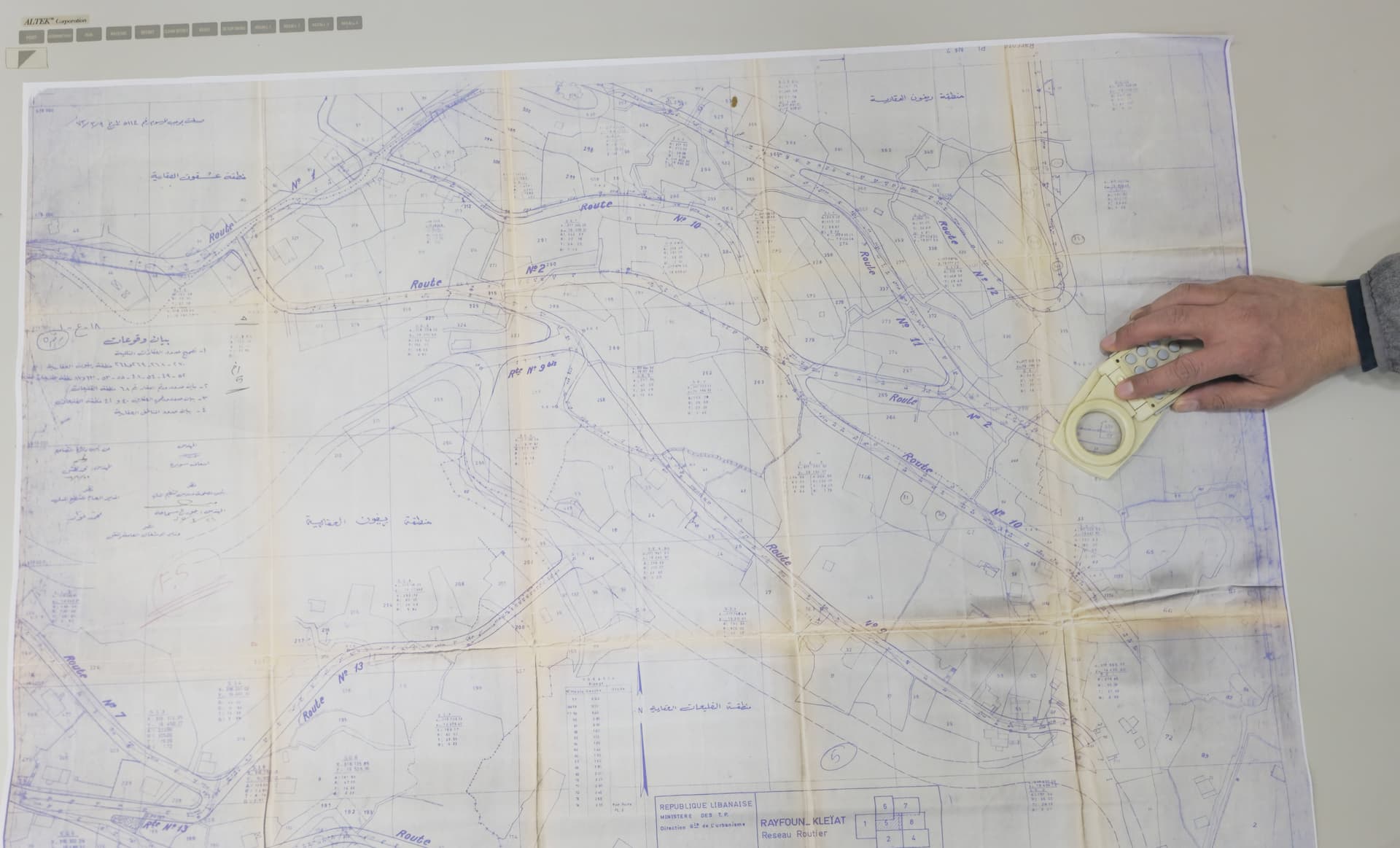
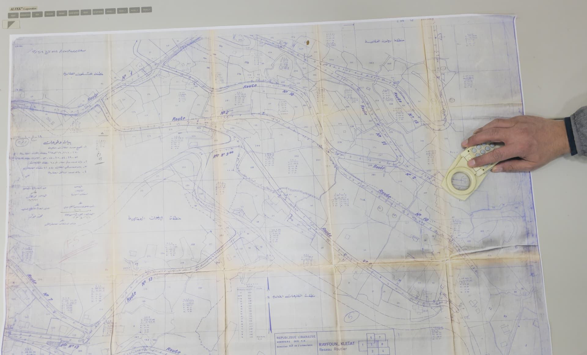
Large-Format A0 Map Digitization
Conversion of historical and regulatory maps into georeferenced digital formats compatible with GIS and CAD.
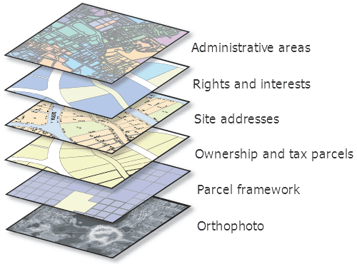
GIS and Spatial Data Processing Tools
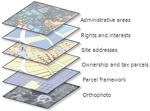
Industry-standard GIS for spatial databases, multilayer analysis, thematic mapping, and asset management.
Ready to start your project? Let's talk.
Contact us to discuss your surveying and geospatial needs. Our team is ready to deliver precision solutions for your next project.